Issue Date: Monday, August 19th, 2019
Issue Time: 10:20AM MDT
Summary:
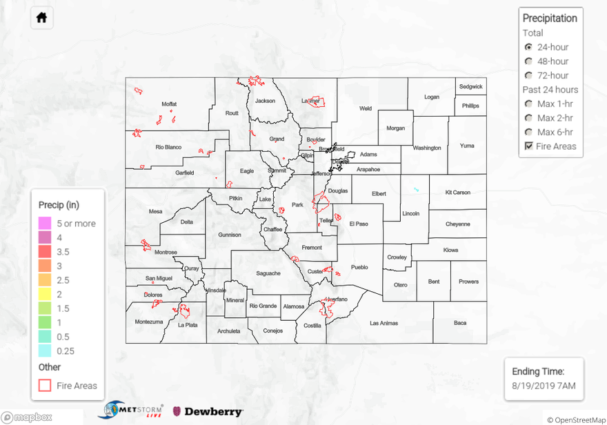
It was bone dry statewide yesterday with a large dry air mass in place overhead. There was some morning cloud cover over the northwest quadrant of the state and dense fog reported over the Northeast Plains. The cloud cover helped keep temperatures a little cooler than to the south. High temperatures over the Southeast Plains crept up to 99°F yesterday, and relative humidity dropped into the teens and twenties. To the west of the Continental Divide relative humidity dropped into the single digits throughout the Red Flag Warning area with the high gusts measuring between 20 and 27 mph. Luckily, there were no new fires were reported over this area yesterday (as of this morning). As far as precipitation goes there was little to no measured precipitation throughout the state. Radar derived a small area up to 0.3 inches of rain in northern Lincoln County; however, no surface stations can confirm this rainfall. There was radar reflectivity over the area, but chances of measurable rainfall are low.
For a look at precipitation over your area, please visit the State Precipitation Map below.
Click Here For Map Overview