Issue Date: Sunday, August 18th, 2019
Issue Time: 9AM MDT
— Flooding is NOT expected today
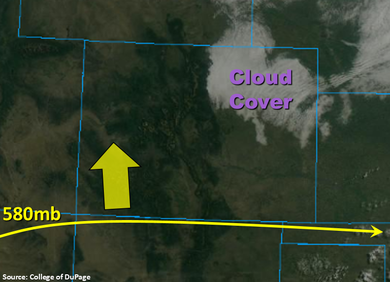
Quiet weather day in store as the ridge begins to build back to the north and produces subsidence (sinking motion) over the state. There is currently some cloud cover over the northwest corner, which is marked below. This should begin to break up as morning heating occurs and the low level moisture mixes out by noon. There is a much drier air mass in place over the state with PW measured at 0.57 inches and 0.55 inches in Denver and Grand Junction, respectively. Not expecting any rainfall today, but there will be some broken cloud cover over the higher terrains and western Colorado border this afternoon. Clouds look to increase overnight for the Southeast Mountains and eastern Plains, so it will be a cooler start to Monday morning. Flooding is not forecast.
Today’s Flood Threat Map
For more information on today’s flood threat, see the map below. For Zone-Specific forecasts, scroll below the map.
Zone-Specific Forecasts:
Front Range, Southeast Mountains, Urban Corridor, Palmer Ridge, Raton Ridge, Northeast Plains, Southeast Plains:
Cloud cover over the northeast corner of the state is forecast to mix out by noon with high temperatures slightly cooler over the area this afternoon. Further south, temperatures will look similar to yesterday. Best chance for afternoon shade from the sun will be near the Palmer Ridge and southern Front Range. Forecasting overcast skies tomorrow morning for the Southeast Plains, Raton Ridge and Southeast Mountains. Rain is not forecast.
Northwest Slope, Grand Valley, Southwest Slope, Northern Mountains, Central Mountains, San Juan Mountains, San Luis Valley:
Critical fire weather continues for another day with a Red Flag Warning issued over the northwest corner of the state. Surface winds will decrease a bit when compared to yesterday, but southwest winds in the 10 to 20 mph range (and gusts up to 35 mph) will mix with low humidity, which will allow flames to spread quickly. So, please use caution with any open flames. A few clouds are forecast over the western border and high terrains this afternoon, but rain is not forecast. High temperatures will be similar to yesterday with possibly a 2-3°F increase.