Issue Date: Wednesday, July 31, 2019
Issue Time: 10:55AM MDT
Summary:
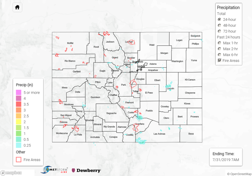
High based thunderstorms produced gusty winds and isolated pockets of heavy rain over the western slope yesterday afternoon and early evening. Dry air underneath the storm bases limited rain accumulation below 0.5 inches in most areas, but repetitive storms over the southwest quadrant of Colorado lead to CoCoRaHS reports in northern Gunnison County up to 0.52 inches. The highest rainfall for the day was measured by a RAWS station in western Archuleta County near Chimney Rock National Monument, where two isolated thunderstorms produced a rainfall total of 0.65 inches. It is possible that the report was contaminated by hail, however the Grand Junction radar is undergoing maintenance, so careful analysis of hail contamination is difficult. A brief Areal Flood Advisory was issued over the 416 Burn area with satellite indicating heavy rainfall, but there were no reports of flooding. Weather was calmer to the west of the Continental Divide, with a few isolated thunderstorms over the Front Range, Southeast Mountains and eastern plains. Radar derived up to 1 inch and 0.5 inches over Lincoln and Pueblo Counties respectively. Most storms to the east of the Divide did not amount to much rainfall due to dry air underneath the storm base. Notable storm reports to the NWS include:
58 mph non-thunderstorm wind gusts 2 miles SE of DIA in Denver County
47 mph thunderstorm related wind gust at Meeker Airport in Rio Blanco County
0.5 inches heavy rain 2 miles southeast of Delta in Delta County
45 mph thunderstorm related wind gust at Eagle County Regional Airport in Eagle County
For a look at precipitation over your area, please visit the State Precipitation Map below. Note: The Grand Junction Radar is undergoing maintenance until August 3rd, so QPE over western Colorado may have underestimations over areas without observations.
Click Here For Map Overview