Issue Date: Monday, July 29, 2019
Issue Time: 10:20AM MDT
Summary:
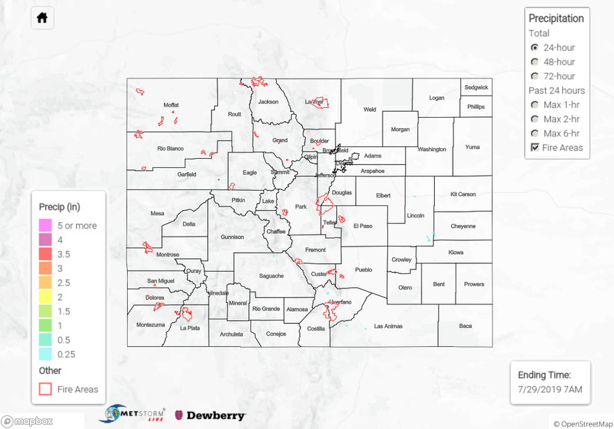
The state dried out yesterday as warn, dry air moved over the area from the west. Dewpoints to the west of the Continental Divide dropped into the 20°Fs, providing little moisture for afternoon storms. Light rainfall was recorded over the southern Front Range, Southeast Mountains and Raton Ridge. The highest measured rainfall for the day was a CoCoRaHS station to the southeast of Trinidad in Las Animas County with 0.17 inches. Other notable reports include 0.05 inches measured by a RAWS station in Manchester in Teller County, and 0.06 inches measured by a CoCoRaHS station to the north of Monument in El Paso County. The cold front that passed over the eastern plains yesterday kept temperatures near the seasonal average, but was not deep enough to produce thunderstorms over the area.
For a look at precipitation in your area, please visit the State Precipitation Map below.
Click Here For Map Overview