Issue Date: 8/29/2015
Issue Time: 9:35 AM
NO FLOOD THREAT IS FORECAST.
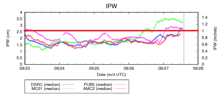
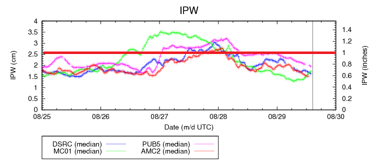
A great Saturday is in store for Colorado as most locations will stay mostly sunny and dry thanks to an upper-level ridge over the region. The ridge axis will shift east, so locations along and east of the I-25 corridor will see temperatures climb a few degrees over yesterday, and temperatures to the west will be fairly similar, perhaps a degree or two warmer, to yesterday’s readings. A few isolated thunderstorms over the mountains, mainly along and south of I-70, will be all the atmosphere can muster in this overall environment. Heavy rainfall and flash flooding is not expected with precipitable water values well below 1 inch at all four normal reporting stations (Boulder, Grand Junction, Pueblo, and Shriever AFB). For more details, including rain rates and timing, be sure and check out the Zone-Specific forecast discussions below.
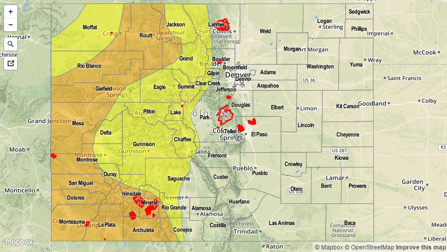
Today’s Flood Threat Map
For more information on today’s flood threat, see the map below (hover over threat areas for more details). For Zone-Specific forecasts, jump below the map.

Zone-Specific Forecasts
Urban Corridor, Northeast Plains, Raton Ridge, Palmer Ridge, and Southeast Plains:
Sunny and warm, with highs ranging from the 80s to the 90s. Steering winds will be northerly again today, so mountain thunderstorms will remain mountain thunderstorms and no threat to adjacent lower elevations. A few more clouds will be present near the mountains compared to the abundant sunshine further east.
Front Range, Northern Mountains, Northwest Slope, Central Mountains, San Juan Mountains, Southwest Slope, Southeast Mountains, San Luis Valley, and Grand Valley:
Mostly sunny becoming partly sunny during the afternoon as daytime heating and terrain play on the available moisture. Isolated-to-widely scattered thunderstorms will develop during the afternoon and evening hours, roughly along and south of I-70. The best coverage will occur across the Central Mountains and San Juan Mountains. The main threats will be gusty winds and lightning, with brief moderate rainfall. Rain rates will generally be 0.25-0.5 inches/hour, maximizing around 0.4-0.8 inches/hour.
Timing: Noon – 9 PM