Issue Date: 8/27/2017
Issue Time: 8:35 AM
NO FLOOD THREAT IS FORECAST.
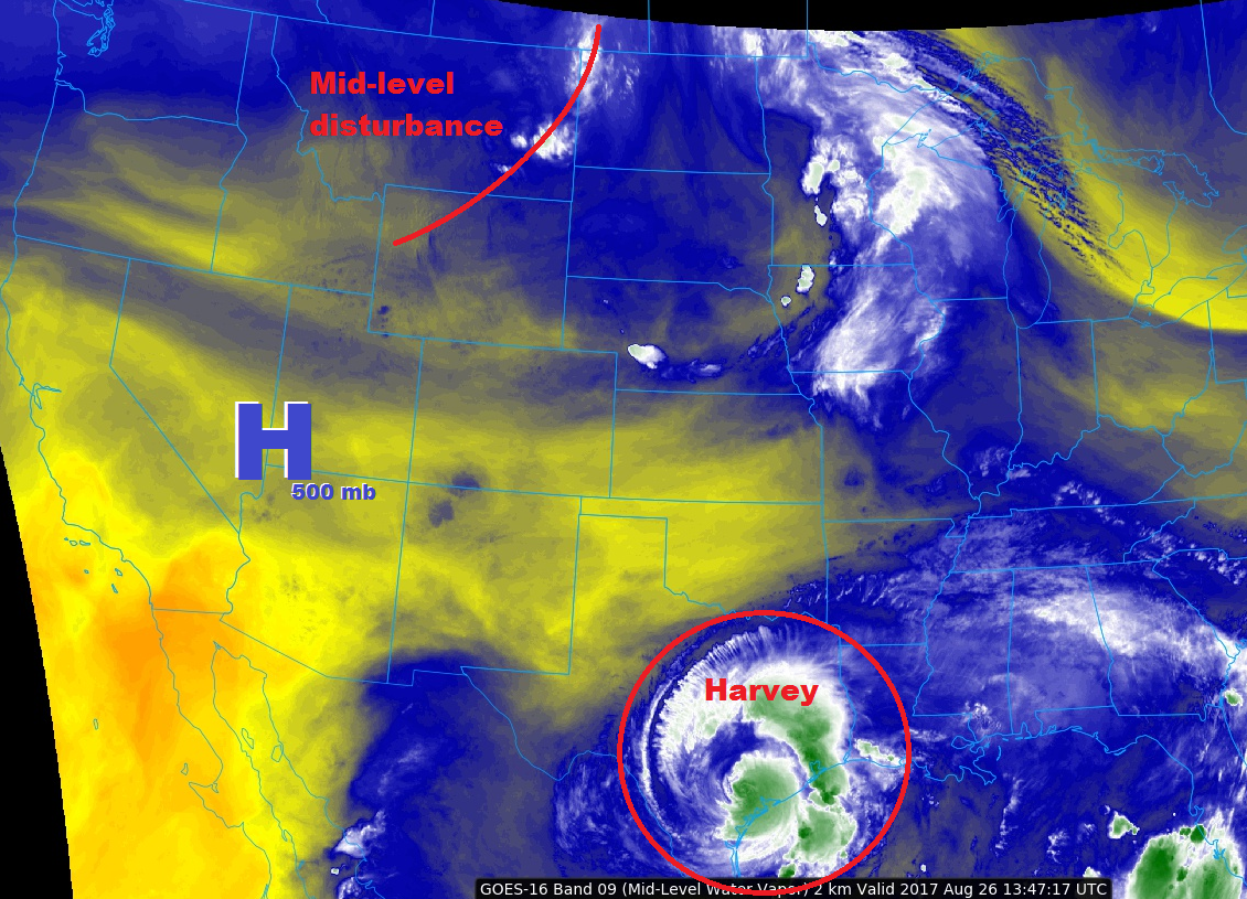
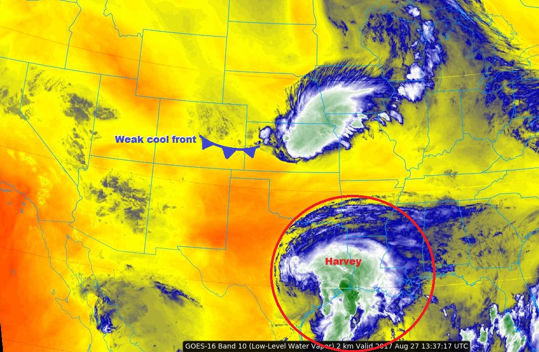
Minimal changes to the forecast can be attributed to a weak cool front passing through eastern Colorado this morning. First, the cool front will help knock afternoon high temperatures down to seasonal levels across the plains. Second, behind the front, weak upslope flow will help back enough moisture into the foothills/mountains and provide enough lift to produce scattered mountain storms over the Front Range and Southeast Mountains. One or two of these storms may drift over areas along/west of I-25, bringing mainly gusty winds and brief rainfall to those areas. Finally, the cool front will *attempt* to spark a few isolated thunderstorms over the Southeast Plains this afternoon/evening, mainly along and south of Highway 50.
For western Colorado, the mountains and adjacent valleys will once again see isolated-to-scattered showers/storms, especially over the Central Mountains, Southwest Slope, San Juan Mountains, and San Luis Valley. The main impacts from this activity will be gusty winds up to 40 mph and brief light-to-moderate rainfall. Most activity will wind down by 9-10 PM tonight, with a few lingering showers/storms over southern areas until Midnight or so.
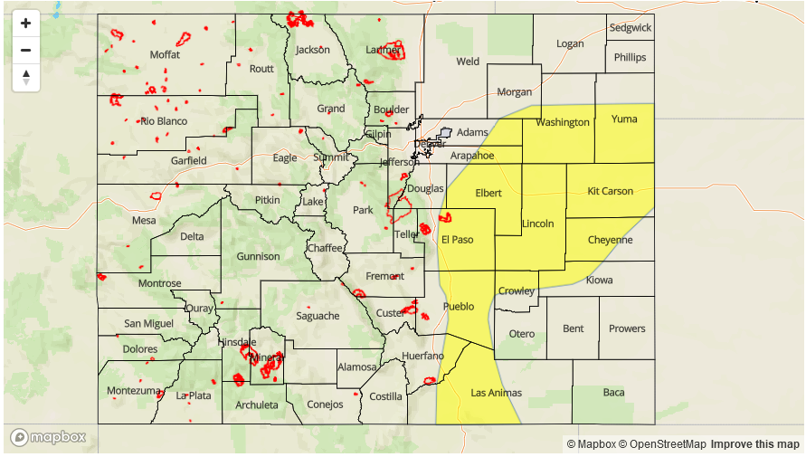
Today’s Flood Threat Map
For more information on today’s flood threat, see the map below (hover over threat areas for more details). For Zone-Specific forecasts, jump below the map.

Zone-Specific Forecasts
Urban Corridor, Palmer Ridge, Raton Ridge, Northeast Plains, and Southeast Plains:
Conditions will be dry for the majority of the region today. Areas along/west of I-25 may see one or two mountain showers/thunderstorms drift overhead, bringing mainly gusty winds and brief periods of rainfall. Also, the cool front is expected to produce an isolated thunderstorm or two over areas south of Highway 50 in the Southeast Plains region. Maximum rain rates are as follows:
Northeast Plains: N/A
Urban Corridor and Palmer Ridge: 0.25-0.5 inches/hour
Raton Ridge and Southeast Plains: 0.6-1.2 inches/hour
Timing: 2 PM – 10 PM
Northern Mountains, Northwest Slope, Front Range, Southeast Mountains, Central Mountains, San Luis Valley, San Juan Mountains, Grand Valley, and Southwest Slope:
For the Front Range and Southeast Mountains, upslope flow and a bit more moisture will help kick off isolated-to-scattered showers/thunderstorms throughout the day and into the nighttime hours. Gusty outflow winds (up to 40 mph) and brief periods of light-to-moderate rainfall are the main threats from this activity.
To the west, mountains and adjacent valleys will once again see isolated-to-scattered showers/storms as ororgraphic effects and daytime heating play on residual moisture. The main impacts will be gusty outflow winds to 40 mph and periods of light-to-moderate rainfall. Maximum rain rates are as follows:
Northwest Slope, Grand Valley, and Northern Mountains: 0.1-0.25 inches/hour
Central Mountains, Southwest Slope, Southeast Mountains, and Front Range: 0.4-0.8 inches/hour
San Juan Mountains and San Luis Valley: 0.5-0.9 inches/hour
Timing: Noon – 10 PM, with a few lingering showers/storms over southern areas until Midnight/1 AM.