Issue Date: Sunday, July 14th, 2019
Issue Time: 9:20 AM MDT
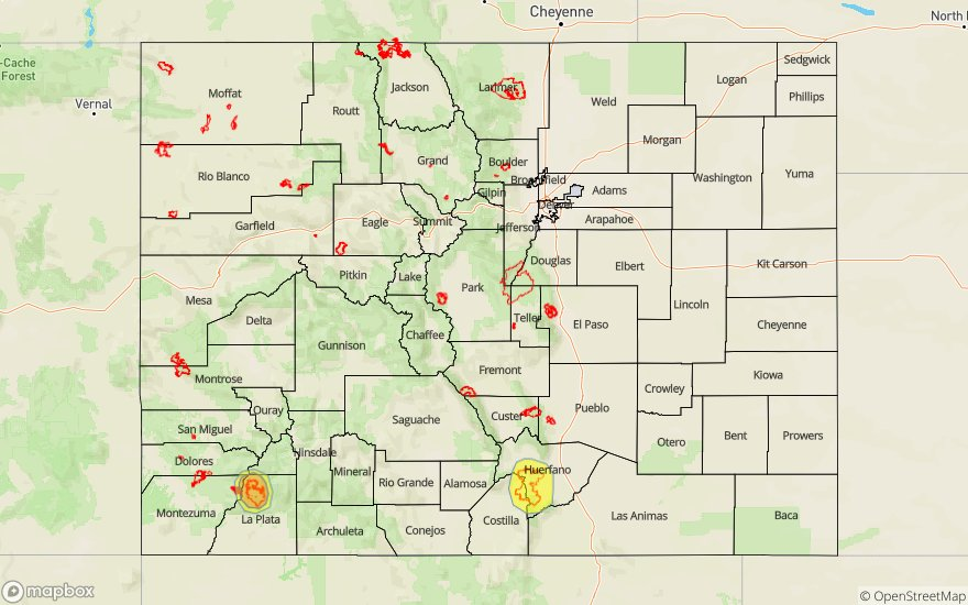
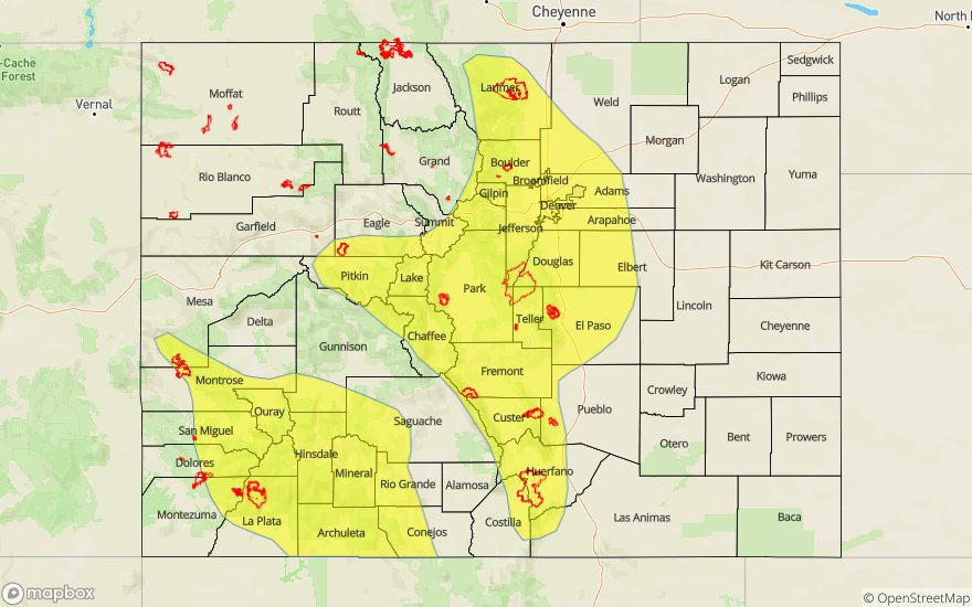
A LOW FLOOD THREAT HAS BEEN ISSUED FOR PORTIONS OF THE SOUTHWEST SLOPE, SAN JUAN MOUNTAINS, CENTRAL MOUNTAINS, GRAND VALLEY, FRONT RANGE, SOUTHEAST MOUNTAINS, URBAN CORRIDOR, PALMER RIDGE, SOUTHEAST PLAINS AND NORTHEAST PLAINS.
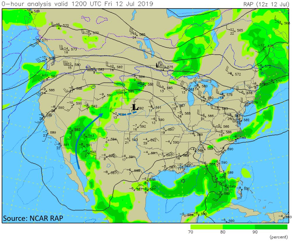
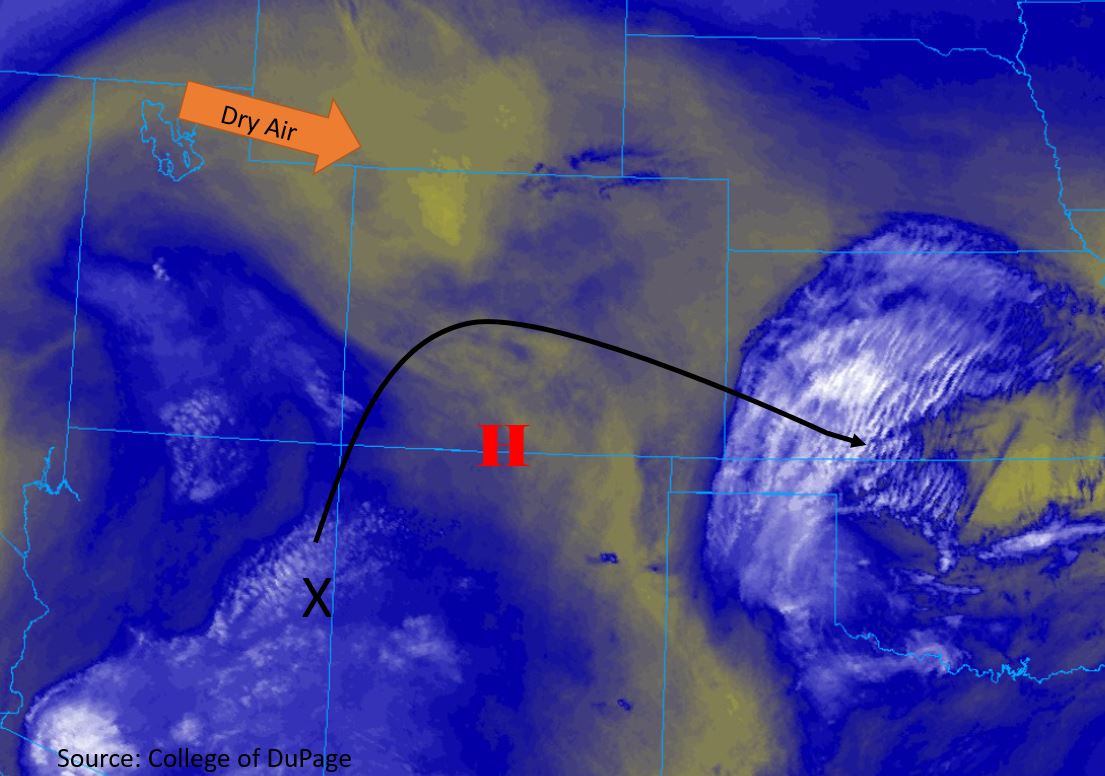
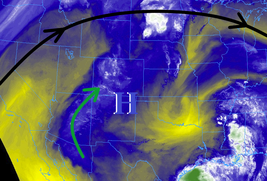
The high-pressure ridge aloft that was a major factor in yesterday’s weather has not really budged much, although it is expected to flatten out through this forecast period. This “flattening out” will turn yesterday’s mid-level southwest flow more westerly for today, resulting in slightly quicker storm motions and allow a few more storms to reach out onto the eastern plains. The subtropical moisture from the west-southwest remains the fuel behind scattered thunderstorm activity, and there will be enough moisture available to warrant a fairly widespread low flood threat area today, with the main concerns being burn scars and urban areas.
Scattered thunderstorms will get their start over the higher terrain by 10-11 AM, with areas east of the mountains getting in on the action by 1-3 PM. Thunderstorms will move generally eastward today at 10-15 mph due to the aforementioned westerly flow aloft. All regions will see at least some rainfall today/tonight (some will get more than others), bringing a welcome relief from hot July afternoon temperatures. Thunderstorm activity will diminish after sunset, with nearly all activity ending by midnight, with a couple isolated showers expected to linger over far western Colorado into the early morning hours tomorrow. For more details on timing and rain rates, please see the zone-specific forecasts below.
Today’s Flood Threat Map
For more information on today’s flood threat, see the map below. For Zone-Specific forecasts, jump below the map.

Zone-Specific Forecasts
Urban Corridor, Northeast Plains, Southeast Plains, Palmer Ridge, and Raton Ridge:
Hot temperatures and scattered thunderstorms will be the name of the game today. Thunderstorms will get their start over the mountains, spreading eastward with time over the lower elevations. Most storms will produce moderate rainfall and gusty winds, but a couple stronger storms will produce locally heavy rainfall, small hail, and strong winds up to 60 mph. Street flooding in urban areas will be the main concern in the low flood threat area, with maximum rainfall rates of 1.0-1.4 inches/hour over the Urban Corridor and Palmer Ridge, 0.4-0.8 inches/hour over the Raton Ridge, and 1.0-2.0 inches/hour over the Northeast Plains and Southeast Plains.
Timing: 1 PM – 11 PM for the Urban Corridor and Palmer Ridge, 2 PM – Midnight for the Northeast Plains, and 3 PM – 1 AM for the Southeast Plains
Front Range, Southeast Mountains, Northern Mountains, Northwest Slope, Grand Valley, Central Mountains, San Luis Valley, San Juan Mountains, and Southwest Slope:
Scattered thunderstorms will be the main weather story today, beginning during the late morning hours, expanding in coverage/intensity through the afternoon and evening hours, and diminishing after sunset. Most will produce light-to-moderate rainfall and gusty winds, but a couple stronger storms will be capable of producing heavy rainfall. The maximum rain rates are as follows:
Front Range and Southeast Mountains: 0.8-1.2 inches/hour
Northern Mountains and Northwest Slope: 0.3-0.7 inches/hour
Central Mountains, Grand Valley, Southwest Slope, and San Juan Mountains: 0.7-1.1 inches/hour
San Luis Valley: 0.2-0.5 inches/hour
Timing: 10-11 AM to 9-10 PM, with a few showers lingering into the early morning hours tomorrow