Issue Date: Thursday, September 12th, 2019
Issue Time: 8AM MDT
— Flooding is NOT expected today
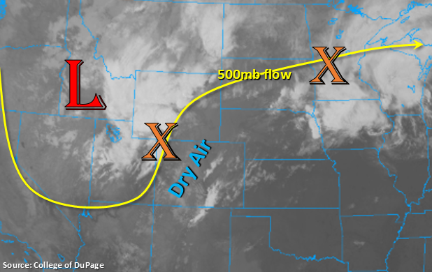
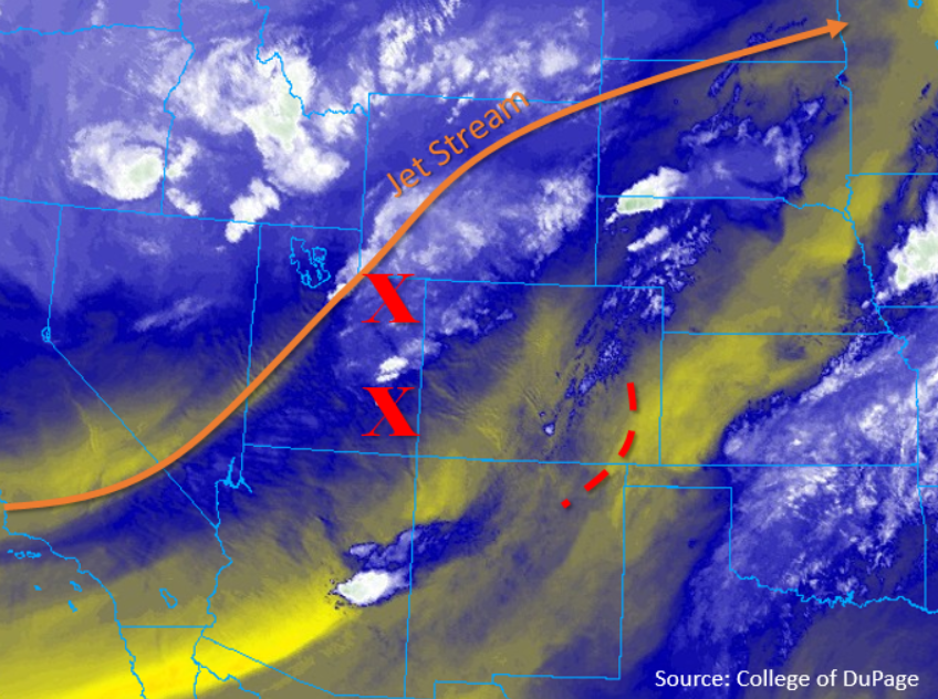
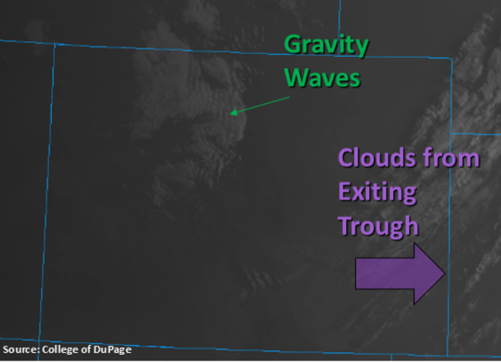
Cool start to the morning behind the cold front with most low temperatures overnight not above 50°F. The exception is over the southeast corner of the state where temperatures are still in the mid to upper 50°Fs. The visible satellite imagery below shows some cloud cover (and gravity waves) over the northern mountains, and some clouds over the eastern plains. The eastern cloud cover is associated with the exiting trough, so expecting this to clear up by about noon with plentiful sunshine forecast for the rest of the day. The cloud cover to the north will also start to clear out as upper level winds gain more of a northwesterly component this morning and advect in a dry air mass. PW has dropped off drastically at Denver already (about a half inch since 6PM last night). With PW values both east and west of the Continental Divide under a half inch the rest of the day and subsidence (sinking motion) behind the trough, rainfall is not anticipated today. With severe clear weather forecast, flooding is not expected.
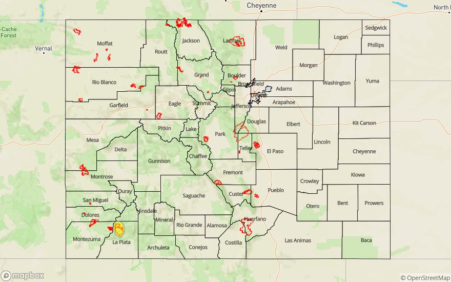
Today’s Flood Threat Map
For more information on today’s flood threat, see the map below. For Zone-Specific forecasts, scroll below the map.
Zone-Specific Forecasts:
Central Mountains, Northern Mountains, San Juan Mountains, Northwest Slope, Grand Valley, Southwest Slope, San Luis Valley:
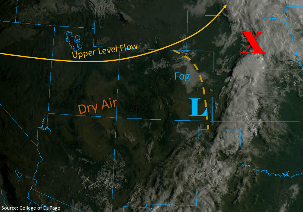
Expecting clouds, fog and lingering precipitation to start to end with the morning heating. However, gusty winds will continue over the northern high terrains through this afternoon. Dry air and subsidence will nix the chances for measurable rainfall today and help create clear skies by noon. Cooler high temperatures are also forecast with highs in the 70°Fs over the lower elevations and upper 50°Fs to mid-60°Fs for the mountains.
Front Range, Southeast Mountains, Raton Ridge, Palmer Ridge, Urban Corridor, Southeast Plains, Northeast Plains:
Clouds are expected to decrease over the eastern plains throughout the morning as the trough moves eastward. Gusty winds will continue over the northern high terrains through this afternoon with winds also picking up over the Northeast Plains throughout the morning. Those winds should start to taper off during the late afternoon. High temperatures are forecast to be in the 70°Fs for the lower elevations and low 80°Fs for the southeast corner of the state with clear skies. Rainfall is not forecast today, but an increase in cloud cover is likely over the Raton Ridge and Southeast Plains overnight associated with a disturbance moving through New Mexico. This should help keep low temperatures a little bit warmer than they normally would be over this region. At this time, not thinking there will be any measurable rainfall with these clouds, but a sprinkle or two can’t be ruled out.