Issue Date: Sunday, August 2nd, 2015
Issue Time: 9:00 AM MDT
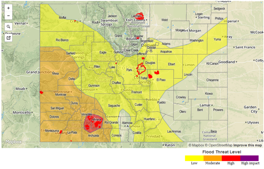
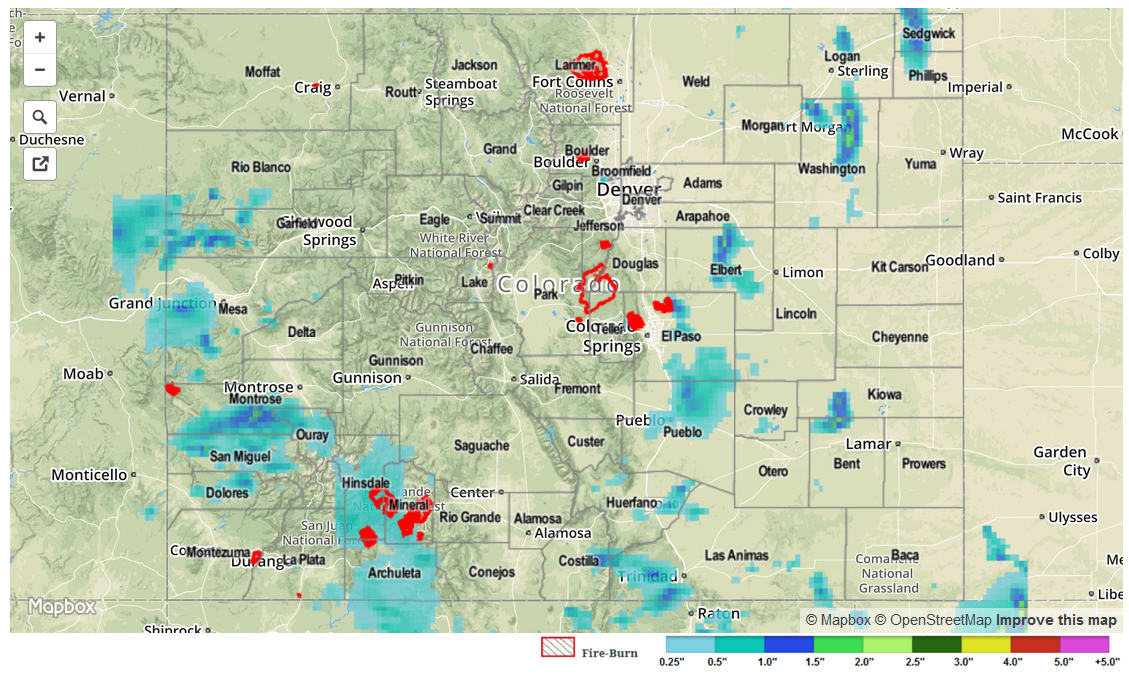
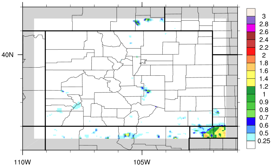
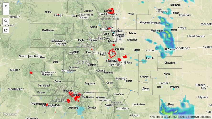
Summary:
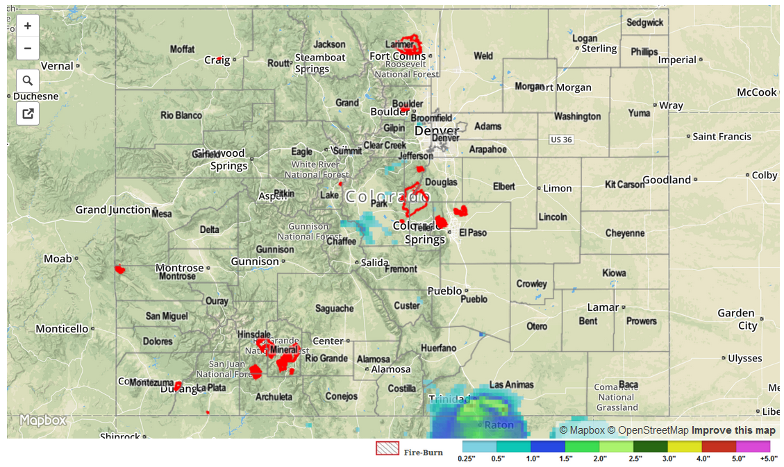
Another day of subtropical moisture invading the state produced isolated-to-scattered showers and thunderstorms. Most activity was confined along and near the mountains, thanks to a mid-level disturbance and orographic support. A surface trough oriented northeast-to southwest across the Northeastern Plains forced a few isolated thunderstorms, producing hail and brief heavy rain. No flash flooding was observed yesterday; a few flood advisories were issued by the National Weather Service, but no flooding issues were reported.
As far as local storm reports are concerned, Washington County experienced the storm of the day, so to speak: 62 mph wind gust (Akron), 0.88 inch hail (8 miles NE of Akron), and 1.0 inch hail (11 miles NNE of Akron).