STP 08-30-2015: Abundant Sunshine with a Few Isolated Mountain Thunderstorms

Issue Date: Sunday, August 30th, 2015
Issue Time: 9:00 AM MDT

Summary:

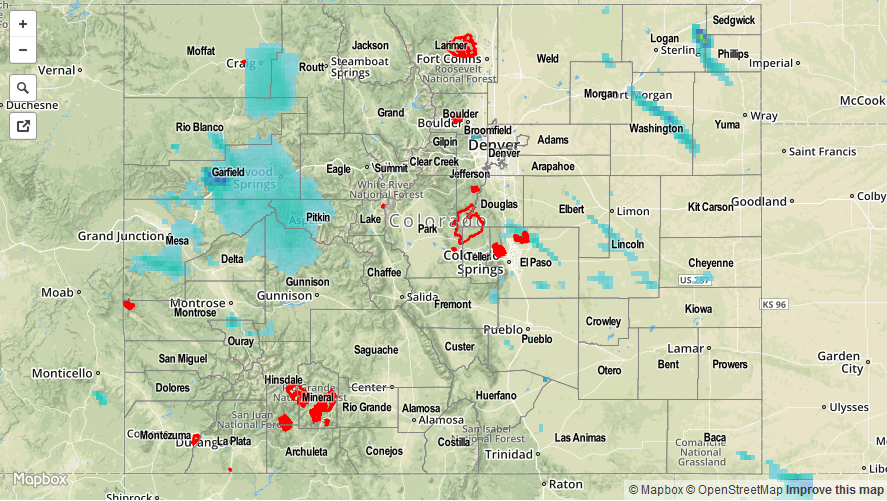
Colorado could not have asked for a better Saturday as Mother Nature produced one of the best of the summer. Warm temperatures and abundant sunshine were the big story as dry air and high pressure laid across the state. A few isolated mountain thunderstorms developed with the heat of the day, but nothing of note resulted. Most rainfall totals were less than 0.05 inches, obviously well below the threshold for any flash flooding issues to result.

20150830_STPImage
Storm Total Precip Legend

STP 08-29-2015: High Pressure and Drier Air Brought About More Sunshine, Less Thunderstorms

Issue Date: Saturday, August 29th, 2015
Issue Time: 9:00 AM MDT

Summary:

Overall, yesterday was a fairly quiet day across the state, with isolated thunderstorms confined to mainly the higher terrain. Northerly flow aloft kept those storms over the mountains and foothills, leaving points along and east of the I-25 corridor dry. High temperatures were around average statewide; there just was not much to complain about with regards to yesterday’s weather.

No flash flooding was reported yesterday. Be sure and check the STP map below for a statewide overview on precipitation.

08292015_STPImage
Storm Total Precip Legend

STP 08-28-2015: Monsoon Moisture Fed Isolated-to-Scattered Thunderstorms

Issue Date: Friday, August 28th, 2015
Issue Time: 9:00 AM MDT

Summary:

Monsoonal moisture continued its push across Colorado in association with a mid-level trough, provided enough fuel for scattered thunderstorms along and over the High Country, with more isolated coverage to the east. Fortunately, the timing of the trough was not favorable for widespread strong thunderstorms. Instead, storms relied mainly on the heat of the day to break the cap, with very marginal instability available. This kept most showers and thunderstorms on the garden-variety side of the scale, with only a couple stronger thunderstorms producing pea-sized hail and brief heavy rain. No flash flooding was reported, but street/field ponding did occur under the strongest thunderstorms.

According to National Weather Service Local Storm Reports, pea-to-dime sized hail was reported 2 miles S of De Beque (Mesa County), and pea-sized hail with heavy rain was reported 2 miles N of Black Forest (El Paso County). For a look at statewide rainfall totals, be sure and check out the Storm Total Precipitation map below.

08282015_STPImage
Storm Total Precip Legend

STP 08-27-2015: Moist over the West Slope, Dry over the Urban Corridor/Eastern Plains

Issue Date: Thursday, August 27th, 2015
Issue Time: 9:00 AM MDT

Summary:

A monsoonal disturbance rotated through the high pressure ridge, moving into western Colorado during the afternoon hours. The disturbance produced abundant cloud cover and widespread showers/thunderstorms for locations along and west of the Continental Divide. The abundant cloud cover helped to keep the flash flood threat down due to a relative lack of instability to drive strong thunderstorms and torrential rainfall. Instead, most showers/thunderstorms produced light-to-moderate rainfall, with rates low enough that terrain/streams/etc. could handle it without any issues.

From CoCoRaHS observers, the following locations were the big winners in rainfall totals yesterday:

Mesa County: 0.94 inches
Gunnison County: 0.68 inches
Delta County: 0.54 inches
La Plata: 0.31 inches
Montrose County: 0.25 inches

With fairly sparse observations across the western slope, it is important to check out the STP map below which shows radar-derived measurements.

20150827_STPImage
Storm Total Precip Legend