STP 06-01-2017: A Few Heavy “Rainers” Out East

Issue Date: Thursday, June 1st, 2017
Issue Time: 10:50AM MDT

Summary:

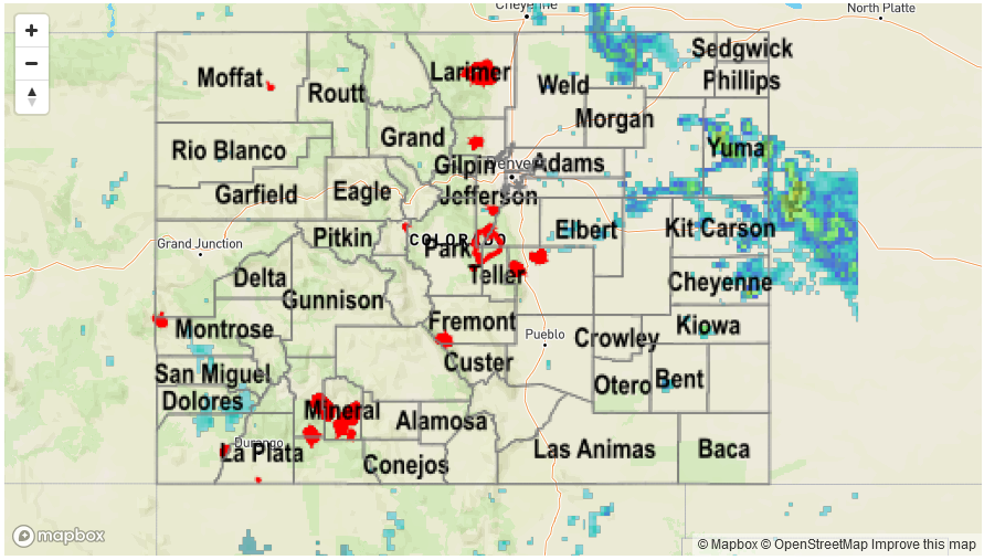
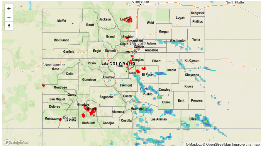
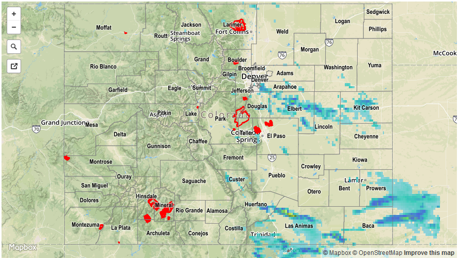
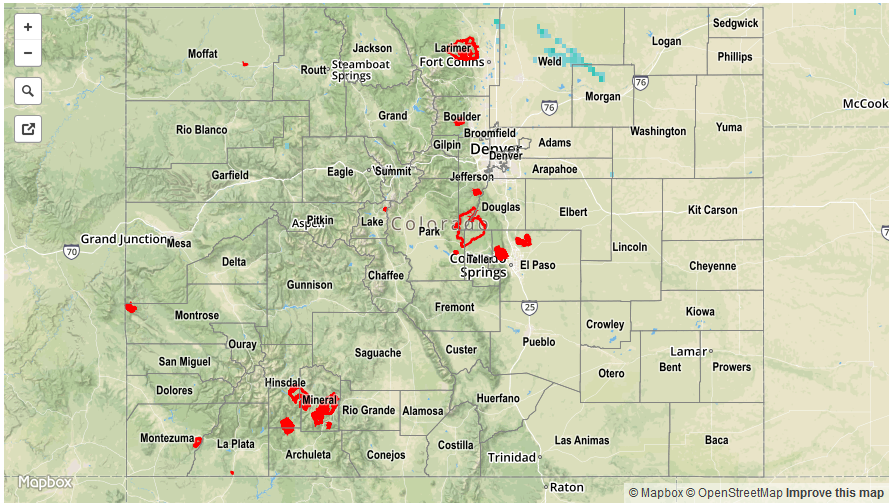
After a prolonged period of cool weather that seemed to last for weeks, temperatures continued to warm to summer levels on Wednesday. Coupled with an adequate supply of low-level moisture, this led to isolated to scattered showers and thunderstorms mainly across eastern areas. A few storms turned severe, producing hail up to 1.5 inches, and gusty winds. Another report of hail came in from near Yuma, where up to 3 inches of hail accumulated on Highway 34 requiring plow trucks to clear the road.

Slow storm movement caused a few places to receive heavy rainfall exceeding 1.5 inches (most of that falling in 1-2 hours). The highest official report was 1.26 inches in Yuma County. However, up to 2 inches likely fell over the Pawnee Grasslands in Weld County and up to 2.5 inches likely fell across western Yuma County. Fortunately, flooding was not reported on Wednesday.

For precipitation estimates in your area, check out our Precipitation Map below.


Storm Total Precip Legend

STP 05-31-2017: Scattered, Slow Moving Storms Found Across Southeast Colorado

Issue Date: Wednesday, May 31st, 2017
Issue Time: 10:45AM MDT

Summary:

Although under the influence of a weak ridge, early morning sunshine statewide boosted temperatures and created the instability necessary for storm development. Multiple rounds of slow moving thunderstorms were observed mainly across southeast Colorado. Most storms produced only very short-term heavy rainfall because a lack of shear meant that the rainfall actually impeded on the updraft. Common totals were in the 0.25 to 0.5 inch range. However, a few more organized complexes produced rainfall exceeding 1 inch in El Paso, Pueblo, Huerfano and Baca counties. The highest rainfall totals was 2.41 inches from Baca County, right along the Kansas border from a slow moving storm that trekked across the area near sundown.

For precipitation estimates in your area, check out our Precipitation Map below. Flooding was not reported on Tuesday.


Storm Total Precip Legend

STP 05-30-2017: Scattered Showers And Storms With A Few Heavy Downpours

Issue Date: Tuesday, May 30th, 2017
Issue Time: 10:55AM MDT

Summary:

A strong late May sun quickly boosted morning temperatures on Memorial Day Monday. As a result, scattered showers and storms erupted along the mountains and foothills east of the Continental Divide before noon. Early storms were not particularly impressive, but as the afternoon wore on, storm updrafts and outflow boundaries combined to form bigger storm complexes. By late afternoon, a few heavy downpours were noted in the Urban Corridor, Palmer Ridge, Southeast Plains and Southeast Mountains. One of the strongest storm cells of the day happened to pass right across a quality controlled USGS rain-gage located in the Pinon Canyon Military Reservation. About 1.5 inches fell over a 3-hour period there, with a few shorter term downbursts in the mix. Other storms moved over the Urban Drainage and Flood Control District’s gauges with up to 0.6 inches falling per 30 minutes.

In addition, a few hail reports, up to penny size, were received with the strongest storms.

For precipitation estimates in your area, check out our Precipitation Map below. Flooding was not reported on Monday.


Storm Total Precip Legend

STP 05-29-2017: Seasonably Cool, Mainly Dry Sunday

Issue Date: Monday, May 29th, 2017
Issue Time: 9:50AM MDT

Summary:

After a crystal clear morning statewide, a few scattered clouds along with some showers and an isolated thunderstorms popped up in north central Colorado on Sunday. With cool temperatures and limited moisture, rainfall had a hard time reaching the ground but up to 0.2 inches did manage to fall for a few lucky locations.

For everyone else, it was a seasonably cool Sunday with temperatures maxing out 5-10 degrees below normal.

For precipitation estimates in your area, check out our Precipitation Map below. Flooding was not reported on Sunday.


Storm Total Precip Legend