Issue Date: Thursday, September 21, 2017
Issue Time: 10:30AM MDT
Summary:
Another beautiful day for Colorado yesterday. Temperatures rebounded quite nicely after the cold front that came through Tuesday evening. High temperatures yesterday were in the mid to upper 70s over the lower elevations and reached 70F in some of the mountain valleys. The cold front helped increase relative humidity values and decrease temperatures enough for a temporary lift of the Red Flag Warning. There was also a bit of a break from the widespread, stronger winds though some of the mountain passes still saw had maximum winds around 45 mph and gusts up to 60 mph. Over the Palmer Divide, winds also decreased quite a bit from Tuesday with maximum wind speeds of 15 mph and gusts around 20 mph.
Downsloping winds limited cloud cover and rainfall over the Front Range and Southeast Mountains. A small shower did form over the Northern Mountains in the evening. A CoCoRaHS station in Routt County recorded 0.12 inches of rain, and the SNOTEL station at Rabbit Ear(s) Pass recorded 0.3 inches.
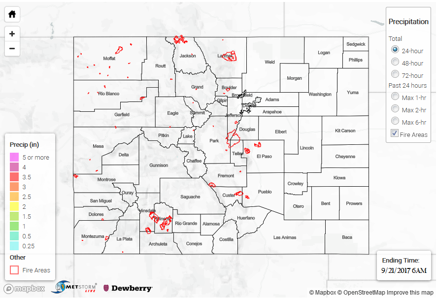
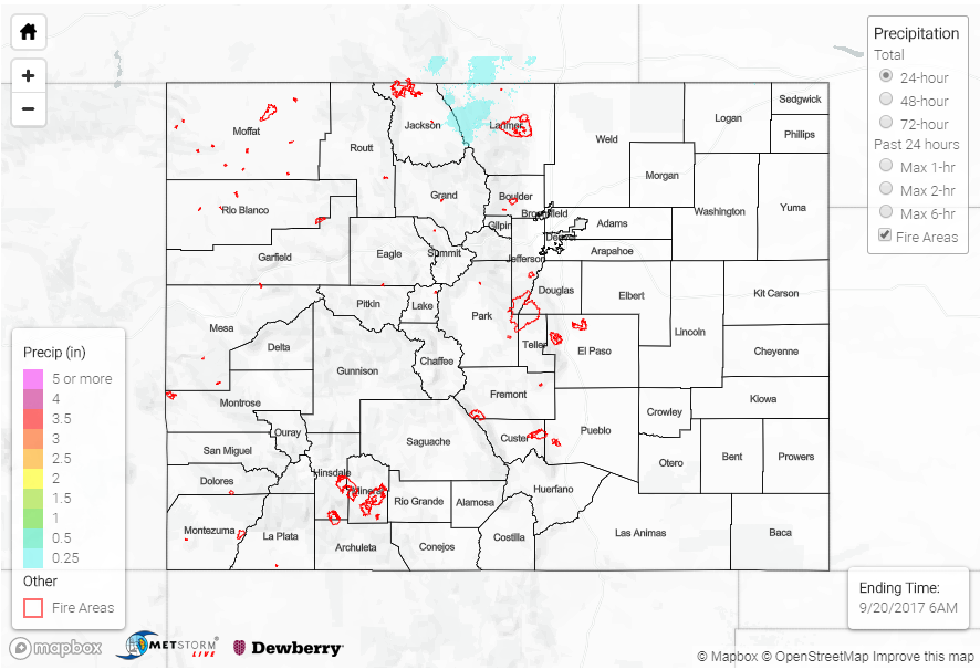
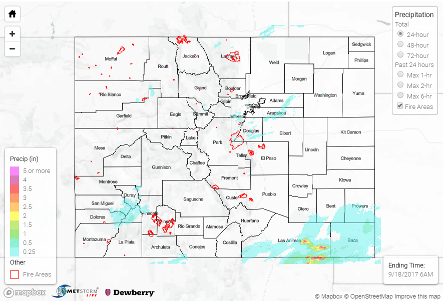
There was no flooding reported on Wednesday. To see how much rain fell in your neighborhood, take a peek at the State Precipitation Map below.
Click Here For Map Overview
Note: We have identified a possible underestimation in QPE over the southwest part of the state. We are working to on this issue, and will provide an update as soon as possible.